47%
OFF
OFF


37%
OFF
OFF


39%
OFF
OFF


£1,204.95 - £1,249.95


Out of stock


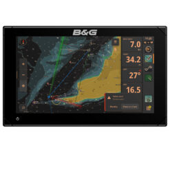
£2,629.95 - £2,878.95


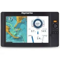
£1,399.95 - £1,669.95
47%
OFF
OFF


26%
OFF
OFF

35%
OFF
OFF


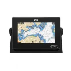
£579.95 - £749.95
27%
OFF
OFF


Out of stock
27%
OFF
OFF


27%
OFF
OFF


£459.95 - £589.95
28%
OFF
OFF


26%
OFF
OFF


34%
OFF
OFF


£749.95 - £789.95
31%
OFF
OFF


27%
OFF
OFF
Out of stock


£419.95 - £499.95
£914.95 - £1,219.95


£309.95 - £319.95