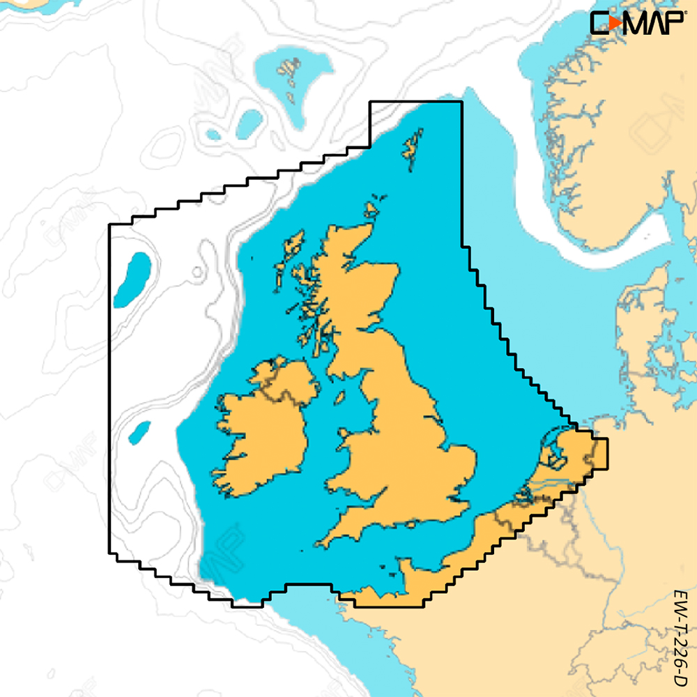
CMAP Discover X United Kingdom & Ireland (For Simrad NSX Only)
£133.99 £124.95
2 in stock
C-MAP® DISCOVER™ X offers a fresh, dynamic experience. With the latest vector data, best-in-class Day and Night modes and the most detailed C-MAP High-Res Bathymetry, with an all-new Map Inspector Tool. DISCOVER X also delivers smooth integration with the Simrad® Companion App. Rich features include Custom Depth Shading, Tides & Currents, and subscription-free Autorouting plus 12 months free online updates.
Exclusively for Simrad® NSX.
Next Generation Charts
A fresh, dynamic chart experience, making navigation clearer than ever before
- Optimised data and new chart presentation to give you the best on-the-water navigation experience
- Always see the data you need without clutter, optimised at every zoom level
- Best-in-class Day & Night modes. Stay safe and navigate with ease, whatever the weather, whatever the time of day
Smooth App Integration
Link to the Simrad® Companion App – enjoy the same charts and a fully connected experience
- Plan trips, review tracks and plot waypoints on the App, then sync straight to your NSX
- Access NSX manuals, “How To” guides and much more, directly from the App
- The future is connected; with C-MAP & Simrad, you’ll be ready
The Best of C-MAP
The latest chart data, with the detail you need to make the most of your time on the water
- Full-Featured Vector Charts – make navigation easy with accurate, up-to-date vector chart detail from official hydrographic office sources
- High-Res Bathymetry – identify shallows, drop offs, ledges, holes or humps, with accurate contours down to 1-foot. Includes the best of C-MAP HRB data
- Subscription-Free Autorouting – Automatically plot the shortest, safest route based on detailed chart data and your vessel information. With C-MAP, Easy Routing is always subscription free
- Custom Depth Shading – set a clear visual safety depth or create your own shading and level-up your fishing to see things your way
- Harbour & Approach Details – approach any harbour and inlet with confidence. The perfect conclusion to a long cruise or an exciting day of fishing
New Map Inspector Tool
Quickly access the information you need, with a simple touch of the screen
- Tides & Currents – detailed projections of water level and tidal data to help you plan your day out
- Detailed Marina Port Plans – docking in an unfamiliar port is no problem when you have precise layouts of thousands of marinas, including slip spaces, restricted areas, and other vital information
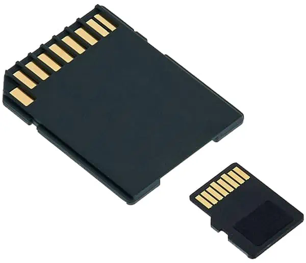
Please note: All charts come as a mirco SD inside an SD card adaptor.