


Navionics Platinum+ Large Charts
£ 319.99 £ 299.95
Navionics Platinum+™ charts include all the content of Navionics®+ cartography, with integrated offshore and inland mapping, 42,000+ lakes and additional viewing options for relief shading, satellite imagery with SonarChart shading overlay, 3D perspective view, aerial photos and more.
Please check the Navionics website for full compatibility. Navionics+ is not compatible with Garmin chartplotters. They use either Bluechart G3 or Garmin Navionics+.
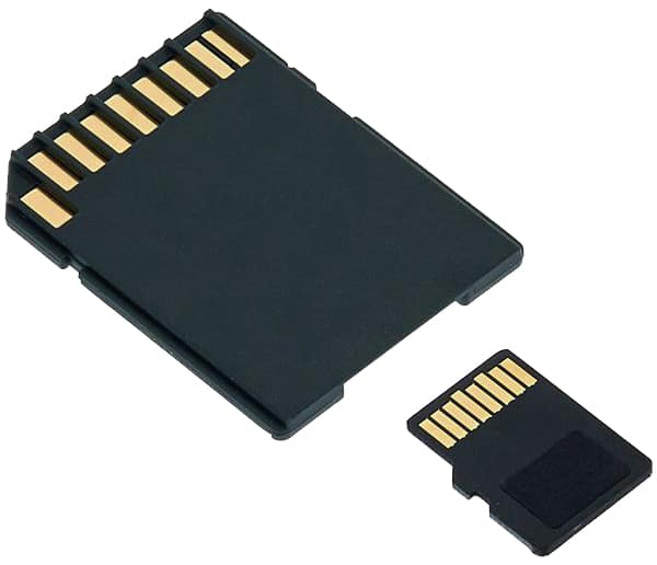
Please note: All charts come as a mirco SD inside an SD card adaptor.
Part Number
Region
Port Solent
Warehouse
99238261
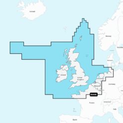
EU628L / 28P+ UK & Ireland
2
1
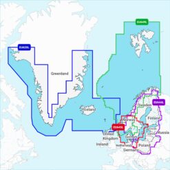
99663650
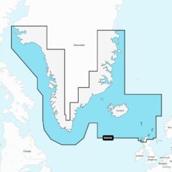
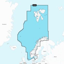
EU620L Greenland & Iceland
0
99663667
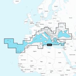
EU643L Mediterranean & Black S
1
0
99663674
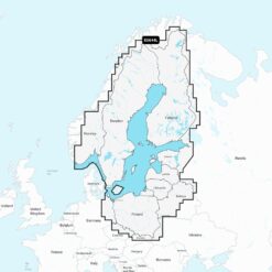
EU644L Baltic Sea
0
99663681
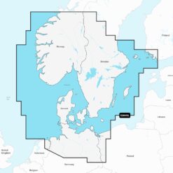
EU645L Skagerrak & Kattegat
1
0
99663698
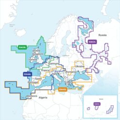
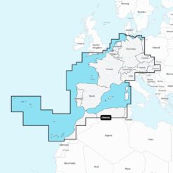
EU646L Europe, Central & West
1
0
99663704
EU649L Norway
0
99663711
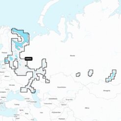
EU652L Russia, West
0